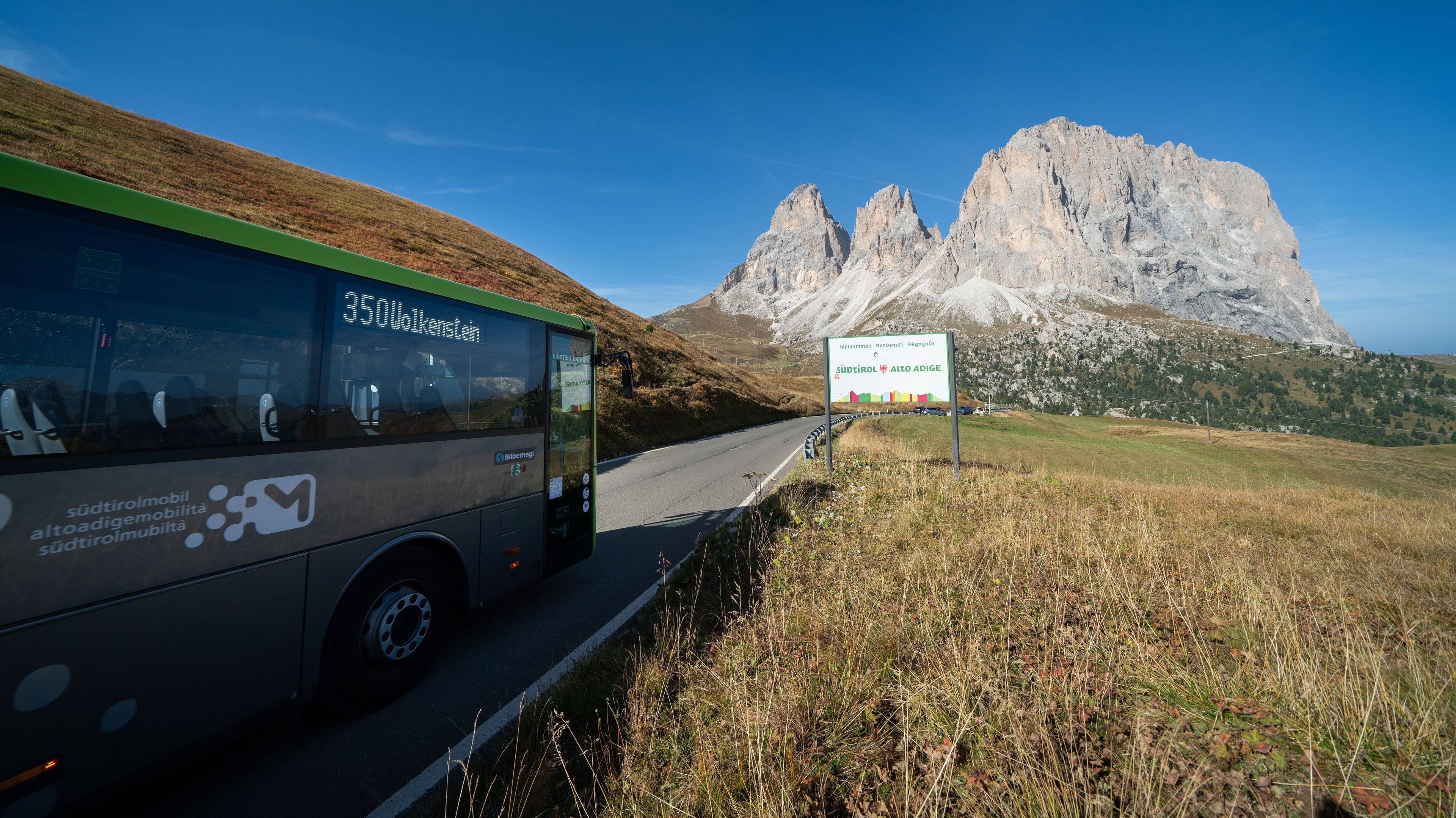
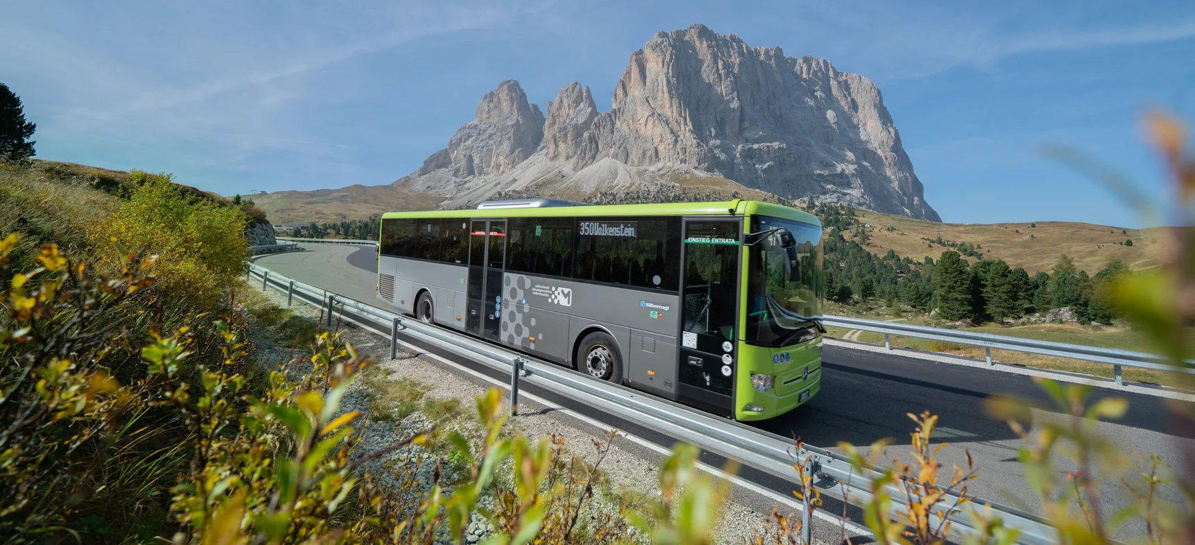
Good to know: Sella Pass

The Sella Pass can be reached in many different ways: on foot, by bike, by public transport or in combination with the lifts. If you want to plan flexibly, it is worth checking timetables, lift operating times and your preferred route in advance. Especially during the summer months, we recommend leaving your car behind and using sustainable mobility options.

How can I reach the Passo Sella

2.218 m – Ladin Jëuf de Sela, German Sellajoch

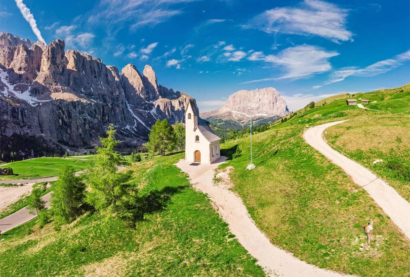
Passo Sella is an alpine mountain pass in the Dolomites, located between the Sassolungo Group and the Sella Group. It connects Val Gardena (South Tyrol) with Val di Fassa (Trentino) in a north–south direction. Passo Sella can be reached from Val Gardena in several ways.

Hiking trails to Passo Sella

On foot, work up a sweat while enjoying nature and some fresh, bracing mountain air!

From Plan de Gralba (Sëlva/Selva):
Duration: 1:20 hour, difference in elevation: 400 m ↑, length: 5,2 km
Follow trail no. 657 to the Passo Sella.

From Selva di Val Gardena:
Duration: 2:30 hours, difference in elevation: 614 m ↑, length: 8 km
From the Cultural Centre “Oswald von Wolkenstein” or from the valley station of the Ciampinoi cablecar, follow trail no. 27, then trail no. 21A and finally trail no. 526 to Passo Sella..

From S. Cristina:
Duration: 3:30 to 4 hours, difference in elevation: 800 m↑, length: 8,3 km
From the valley station of the Monte Pana chairlift follow trails no. 30, no. 528 and subsequently trail no. 526 to the Passo Sella.

From Ortisei:
Duration: 6:30 hours, difference in elevation: 1.013 m ↑, length: 13 km
Start out by following the Val Gardena Railway Trail (Bahnsteig-Promenade) until you reach Santa Christina. Then take trails no. 30 B, no. 23, no. 528 and subsequently no. 526 to the Passo Sella.

Plan your desired tour with our Val Gardena Trip Planner.
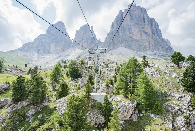
Hiking + lift facilities combination

From Plan de Gralba (Selva di Val Gardena):
Alternative A): Duration: 1 hour, difference in elevation: 260 m ↑, 90 m↓,  length: 3,1 km
Take the Piz Seteur cable car to the mountain station and then follow trail no. 21A and afterwards trail no. 526 to Passo Sella.
Alternative B): Duration: 25 min., difference in elevation: 75 m ↑, length: 1,3 km
Take the Piz Seteur cable car and the Gran Paradiso chairlift (Sessellift Gran Paradiso). Then follow trail no. 526 “Steinerne Stadt”(Stone City).

From Selva di Val Gardena:
Duration: 1:30 hours, difference in elevation: 141 m ↑, length: 4,3 km
Take the Ciampinoi cable car (Umlaufbahn Ciampinoi) and follow trail no. 21 A and no. 526 to the Passo Sella.

From S. Cristina:
Duration: 1:30 hours, difference in elevation: 263 m ↑, 128 m ↓, length: 4,7 km
Alternative A): Take the Monte Pana chairlift (Sessellift Monte Pana) and subsequently the Mont de Sëura chairlift (Sessellift Mont de Sëura). Then follow trail no. 526 Bno. 528 and no. 526 to the Passo Sella.
Alternative B): Take the Monte pana chairlift and Mont de Sëura chairlift. Hike along trail no. 526 B and take the Tramans chairlift (Sessellift Tramans). From here, trails no. 21 A and no. 526 lead you to the Passo Sella.

You can purchase tickets for the lift facilities on site. You can purchase individual tickets as well as the following special cards:

  • Gardena Card: use all 17 lift facilities in Val Gardena as many times as you wish for either three or six consecutive days from the moment you scan the card the first time (bike transport not included in the price).
  • Dolomiti Supersummer Card: use of over 100 lift facilities in the Dolomites (day card/3 out of 4 days/5 out of 7 days); valid for all lift facilities listed above and includes bike transport.

Warning: lift facilities are not included in the Val Gardena Guest Pass.

Plan your desired tour with our Val Gardena Trip Planner.
Mountain bike routes to Passo Sella

With the bike, work up a sweat while enjoying nature and some fresh, bracing mountain air!

From Selva di Val Gardena:
Length: 16,9 km, difference in elevation: 796 hm ↑, 796 hm ↓, duration: 2:35 hours, difficulty level: medium
Start: End of the cycle path in Plan. Follow mountain bike route no. 223 to Passo Sella.

Plan your desired tour with our Val Gardena Tripplanner.

Mountain bike + lift facilities combination

From Selva di Val Gardena:
Passo Sella MTB Tour:
Length: 6,3 km, difference in elevation: 349 m ↑, 405 hm ↓, duration: 1:25 hours, difficulty level: medium
Start: Ciampinoi cablecar mountain station. Follow route no. 309 to Rifugio Comici and then continue on route no. 282 to Passo Sella.

Sellaronda MTB Tour (counterclockwise):
Length: 56,7 km, difference in elevation: 1020 hm ↑, 3660 hm ↓, duration: 6-7 hours, difficulty level: difficult
Start: Ciampinoi cablecar mountain station. Follow the signs with green arrows, which mark the Sellaronda MTB Tour in the counterclockwise direction.

You can purchase tickets for the lift facilities on site. You can purchase individual tickets as well as the following special cards:

  • Gardena Card: use all 17 lift facilities in Val Gardena as many times as you wish for either three or six consecutive days from the moment you scan the card the first time (bike transport not included in the price).
  • Dolomiti Supersummer Card: use of over 100 lift facilities in the Dolomites (day card/3 out of 4 days/5 out of 7 days); valid for all lift facilities listed above and includes bike transport.

Warning: lift facilities are not included in the Val Gardena Guest Pass.

Plan your desired tour with our Val Gardena Tripplanner.

By public bus to Passo Sella

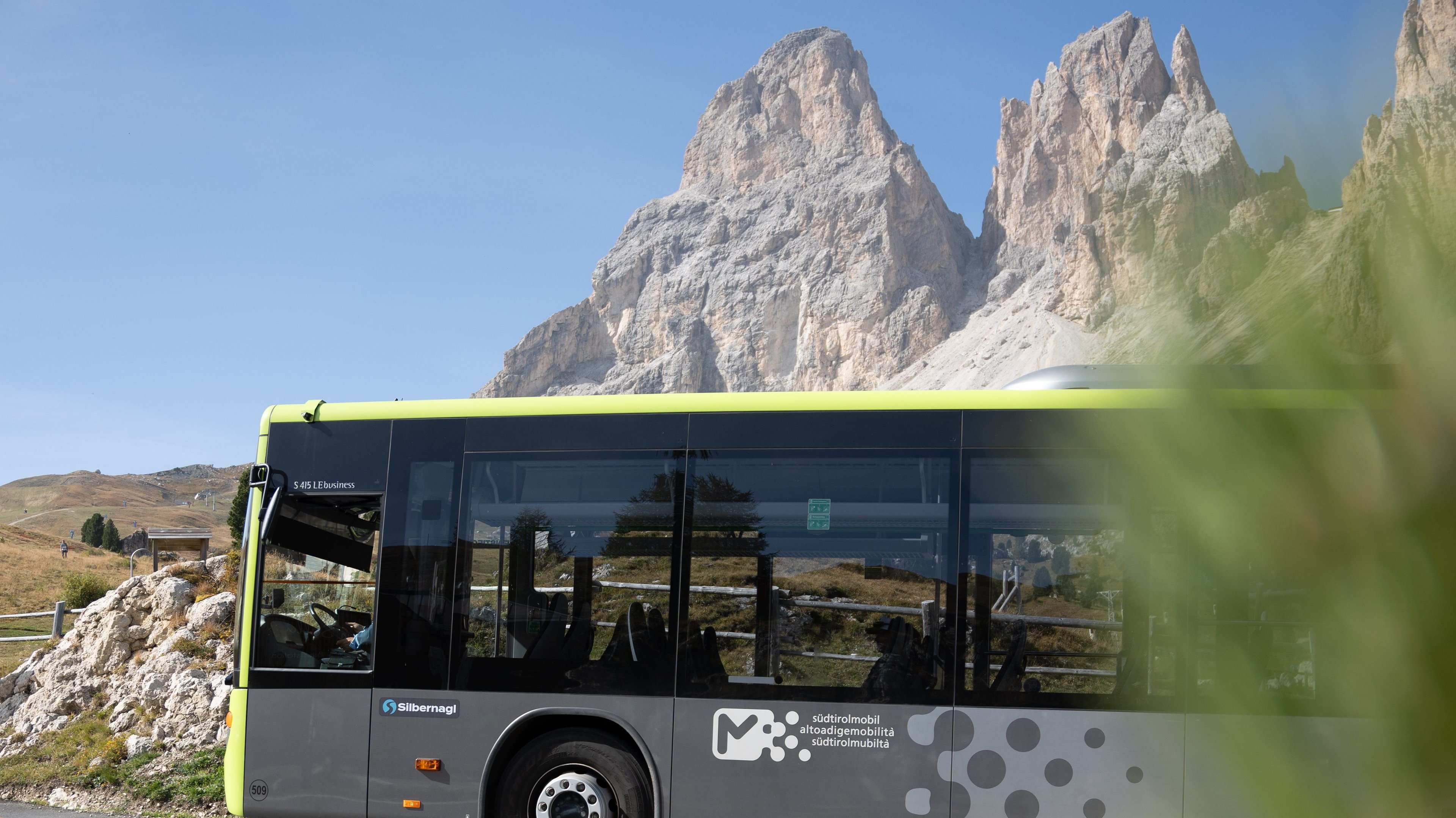
With the Val Gardena Guest Pass you can use public transport free of charge, or purchase tickets online or directly on the bus. Children up to 6 years travel free of charge. Dogs must be kept on a leash and must wear a muzzle.

From Gherdëina/Val Gardena:
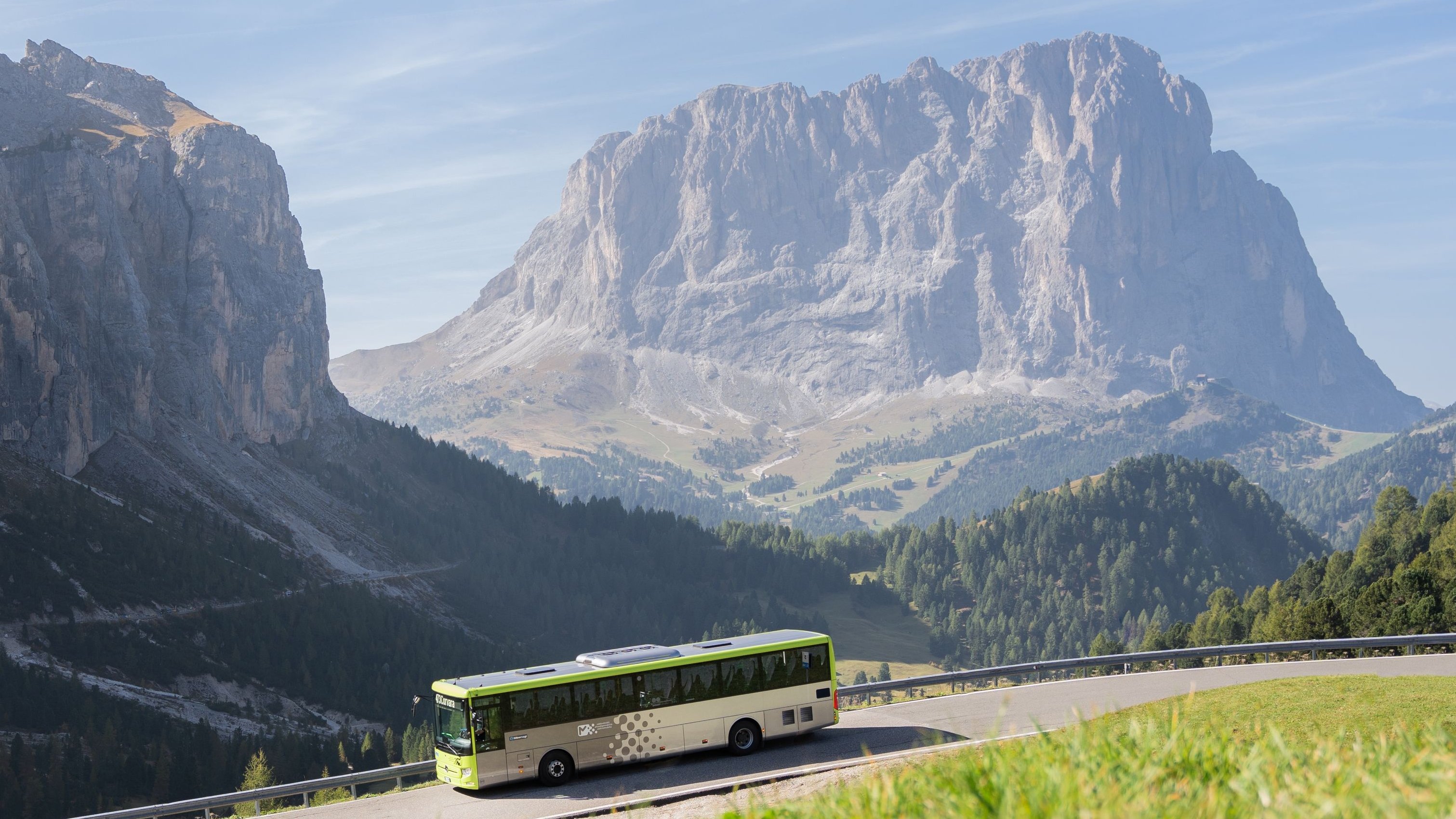
From Selva di Val Gardena, Passo Sella can be easily reached by public transport. Early in the morning there is a direct connection, while during the rest of the day it is generally necessary to change at Plan de Gralba from lines no. 350 and no. 352 to line no. 471.

Please note: Bus line no. 471 runs every 15 minutes from Plan de Gralba. If the bus is already crowded, please wait for the next connection or use the Plan de Gralba cable car (Funivia Plan de Gralba) as an alternative.

Check the bus timetables at the following link.

By car to the Passo Sella

Passo Sella can also be reached by car; however, parking availability at the pass is very limited and parking along the road is not permitted. During the summer months, especially in July and August, traffic can be heavy. For this reason, sustainable mobility solutions are recommended, allowing visitors to reach the pass in a more relaxed way, reducing environmental impact and leaving more space to fully enjoy the extraordinary natural landscape of the Dolomites.

Useful link: Traffic Control Unit

Good to know: Gardena Pass

Gardena Pass is ideal for anyone who wants to experience the Dolomite passes without using their own car. Depending on your starting point, you can choose from hiking trails, bike routes, bus connections or a combination with the Dantercëpies lift. This allows you to plan your journey individually – sporty, comfortable or as part of a varied mountain experience.

How can I reach the Passo Gardena

2.121 m – Ladin Jëuf de Frea, German Grödnerjoch

Passo Gardena is an alpine saddle located between the Sella massif and the Cir peaks, which belong to the Puez Group and mark the entrance to the Puez-Odle Nature Park to the north. To the west there is a spectacular view of Sassolungo, while to the east the panorama opens into a wide landscape of impressive Dolomite peaks.

Hiking trails to Passo Gardena

On foot: according to the motto use your own muscle power, enjoy nature and breathe the fresh mountain air!

From Plan (Selva di Val Gardena):
Duration: 2 hours, difference in elevation: 516 m ↑, length: 3,5 km
From the hamlet of Plan in Selva di Val Gardena, take trail no. 654 (Via Crucis degli Alpini) to Passo Gardena.

From Selva di Val Gardena:
Duration: 2.5 hours, altitude difference: 650 m ↑, length: 4.8 km.
From the valley station of the Dantercepies cablecar, walk up to the mountain station along forest trail no. 12A. From there, hiking trail no. 654 leads to Passo Gardena.

Plan your desired tour with our Val Gardena Tripplanner.

Combination: hike + lift

From Selva di Val Gardena:
Duration: 20 minutes, HM: 101 hm ↑, Length: 1 km
Take the Dantercepies cablecar and follow trail no. 654 to Passo Gardena.

You can purchase tickets for the lift facilities on site. You can purchase individual tickets as well as the following special cards:

  • Gardena Card: use all 17 lift facilities in Val Gardena as many times as you wish for either three or six consecutive days from the moment you scan the card the first time (bike transport not included in the price).
  • Dolomiti Supersummer Card: use of over 100 lift facilities in the Dolomites (day card/3 out of 4 days/5 out of 7 days); valid for all lift facilities listed above and includes bike transport.

Warning: lift facilities are not included in the Val Gardena Guest Pass.

Plan your desired tour with our Val Gardena Tripplanner.

By mountain bike to Passo Gardena

By bike: according to the motto use your own muscle power, enjoy nature and breathe the fresh mountain air!

MTB Tour Passo Gardena
Length: 5,5 km, Height difference: 718 m ↑, 237 m ↓, Duration: 2 hour, Difficulty: medium
Start: valley station of the Dantercepies cablecar. Route no. 304 leads directly along a gravel road to the mountain station of the lift, followed by a short descent to Passo Gardena.

Plan your desired tour with our Val Gardena Tripplanner.

Combination: mountain bike + lifts

From Selva di Val Gardena:
MTB Tour Passo Gardena:
Length: 864 m, difference in elevation: 1 m↑, 154 m ↓, duration: 5 minutes, difficulty level: easy
Start: after taking the Dantercepies cablecar, begin directly below the Cir peaks on a flowing downhill trail that leads to Passo Gardena.

MTB Tour Sellaronda (clockwise):
Length: 59,7 km, difference in elevation: 440 hm ↑, 4130 hm ↓, duration: 6-7 hours, difficulty level: medium
Starting point: Dantercepies cable car (Cabinovia Dantercepies). Take the lift to reach the mountain station and follow the orange signposted track of the MTB Tour Sellaronda.

MTB Tour Sellaronda (counterclockwise):
Length: 56,7 km, difference in elevation: 1020 hm↑, 3660 hm ↓, duration: 6-7 hours, difficulty level: difficult
Starting point: Ciampinoi lifts (Funivie Ciampinoi). Take the lift to reach the mountain station and follow the green signposted track of the MTB Tour Sellaronda.

You can purchase tickets for the lift facilities on site. You can purchase individual tickets as well as the following special cards:

  • Gardena Card: use all 17 lift facilities in Val Gardena as many times as you wish for either three or six consecutive days from the moment you scan the card the first time (bike transport not included in the price).
  • Dolomiti Supersummer Card: use of over 100 lift facilities in the Dolomites (day card/3 out of 4 days/5 out of 7 days); valid for all lift facilities listed above and includes bike transport.

Warning: lift facilities are not included in the Val Gardena Guest Pass.

Plan your desired tour with our Val Gardena Tripplanner.

By public bus to Passo Gardena

With the Val Gardena Guest Pass you can use public transport free of charge, or buy a ticket online or directly on the bus. Children up to 6 years travel free of charge. Dogs must be kept on a leash and must wear a muzzle. From Selva di Val Gardena, Passo Gardena is easily reachable by public transport. Early in the morning there is a direct connection, while during the rest of the day it is generally necessary to change at Plan de Gralba from lines no. 350 and no. 352 to line no. 473.

Check the bus timetables at the following link.

By car to Passo Gardena

Passo Gardena can also be reached by car; however, parking availability at the pass is very limited and parking along the road is not permitted. During the summer months, especially in July and August, traffic can be heavy. For this reason, sustainable mobility solutions are recommended, allowing visitors to reach the pass in a more relaxed way, reducing environmental impact and leaving more space to fully enjoy the extraordinary natural landscape of the Dolomites.

Useful link: Traffic Control Unit


Your way to Val Gardena

Your holiday destination in the heart of the Dolomites – how to get there.